


Dimap: aerial survey company digital and lidar mapping service
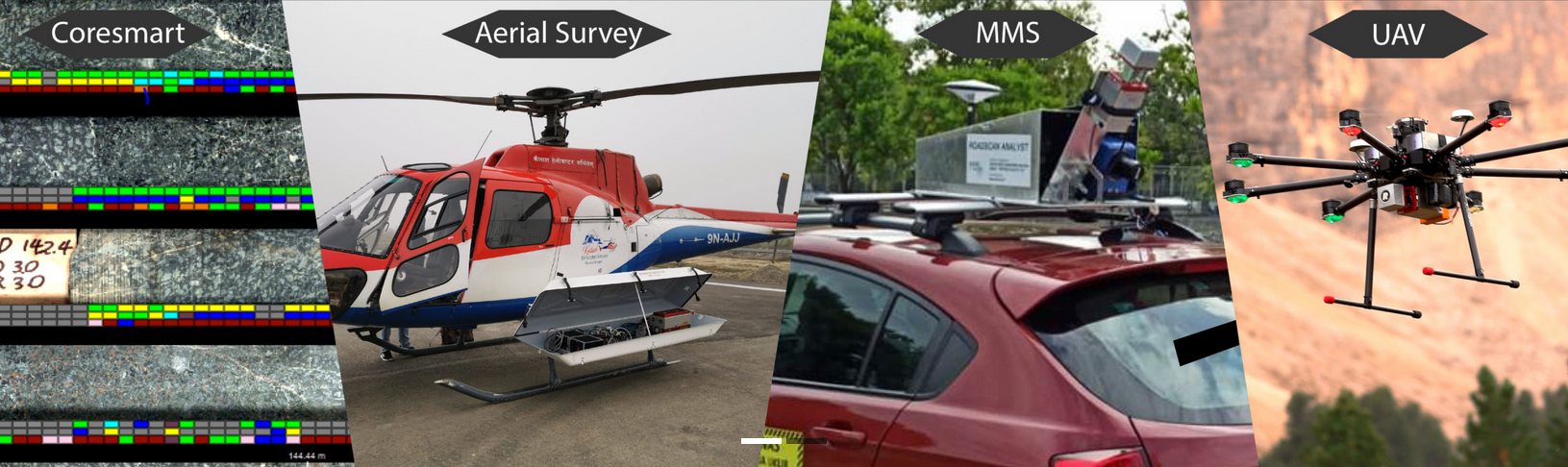
Lidar Survey Lidar Survey
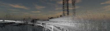
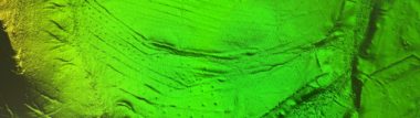
Lidar uses Laser-Rays to measure the distance to the ground in a swath and generates out of accurate terrain and surface models and point clouds for 3D modeling with accuracies of better 5cm absolute. Dimap is in Asia one of the top addresses for airborne surveys using modern Lidar systems combined with multiple other sensors. Our airborne LiDAR systems are installed on aircraft, helicopters, or drones. Dimap operates topological Lidar for terrain measurements and bathymetric LiDAR for mapping the coastal interface. Our terrestrial LiDAR systems are installed on vehicles for collecting accurate data points along roads and around buildings. These are used for mapping highways, analyzing infrastructure, or even collecting point clouds from the inside and outside of buildings.
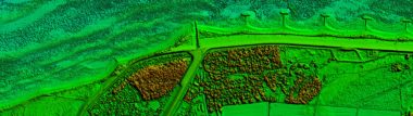
Digital terrain and surface models
Our terrain elevations play a crucial role during the construction of roads, mines, large buildings, and bridges. LiDAR technology has x, y, and z coordinates, which makes it incredibly easy to produce the 3D representation of elevations to ensure that concerned parties can draw necessary conclusions more easily and plan, monitor, and report construction work.
Agriculture & Archaeology
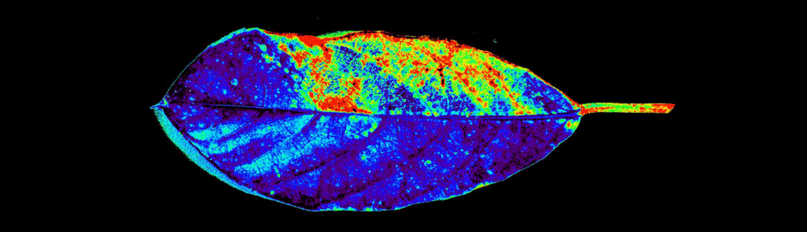
Typical applications of LiDAR technology in the agriculture sector include analysis of yield rates, crop scouting, and seed dispersions. Besides this, it is also used for campaign planning, mapping forest canopy, and defining above-ground carbon amounts. Apart from the applications mentioned above, LiDAR is used by geoscientists for unearthing geomorphological and archeological secrets, as well as for carrying out various security operations for instance near the national borders.
———————————————————————————————————————————————————————————————-
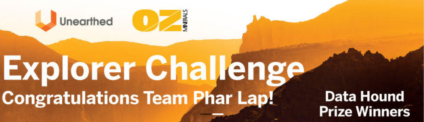
Data Hound Prize Winners
Winning the Data Hound prize means a great deal to Dimap and partners as it’s the first time combining surface expression and geophysics data using complex machine learning models. While most of our clients are struggling with bridging the gap between these two worlds, the Explorer Challenge gave us a chance to develop and verify methods with rich data from both worlds. Winning this award gives credence to our methods and provides a proof of concept to the mining exploration industry Link