
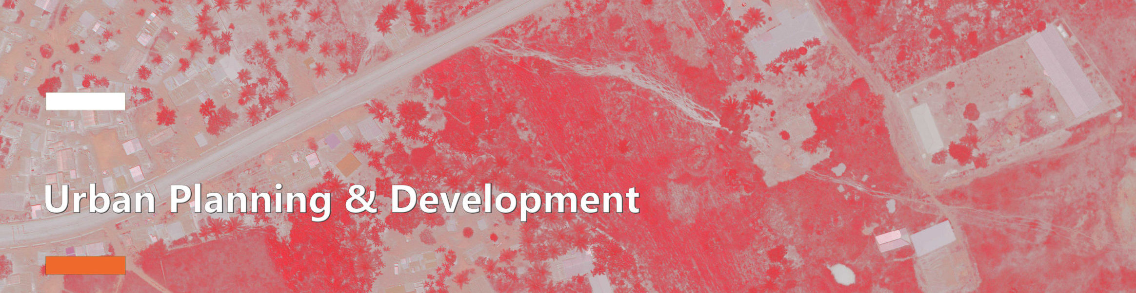
The use of aerial photography in urban planning is not new, with our multi-sensing equipment, the data collected are definitive.
We provide the following services:
• Aerial photographs for site identification, evaluation, and selection
• Identify potential development area and facilities scale
• Collecting data for development site and mapping
• Land-Use Classification
• Scale identification e.g. scale of cleared land for new construction, for demolition, cities, and urban areas
• Collect data for site improvements including traffic habits, parking, railroads, green cover