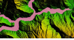
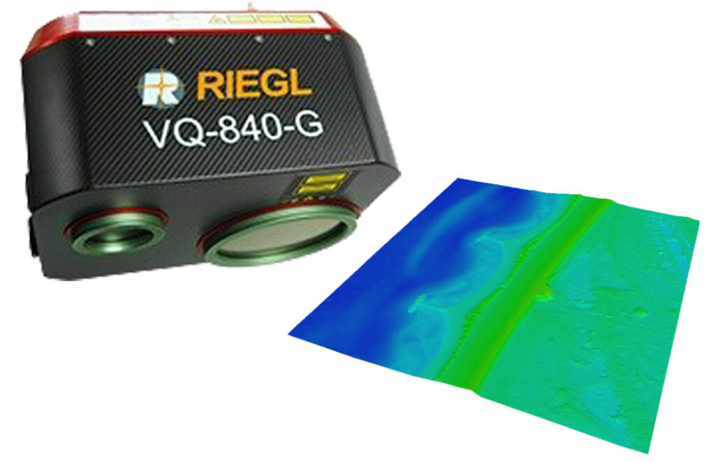
Upgraded Bathymetric LiDAR 02-04-2025
Lidar mission in Dead Sea 19-10-2022

Dimap is back in Perth with an office 17-6-2022

Dimap is back in Perth with an office – after years of operating surveys in Australia from overseas we are back in Perth with an office and permanent staff in our new Subiaco office.
Coresmart development 17-06-2022
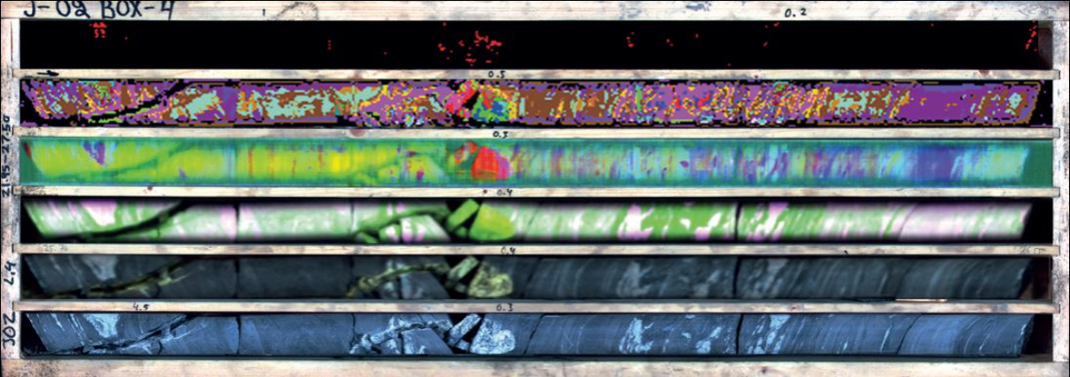
Dimap starts the next phase of Coresmart development Together with partners and financial support of the ESS program of the HK government. Dimap starts the next phase of the CoreSmart developments.
In this phase, we will focus on applying our predictor for metal contents from hyperspectral scans to new applications in the mining industry. For more information see also our new website coresmart services.
Dimap collects data in Nepal for large scale Hydropower projects 4-3-2022
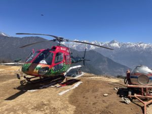
Together with our local partner Geo 3D Modelling, Dimap flew in the last weeks planning data for hydropower projects and the connecting powerlines with an investment volume of more than 2 billion USD. While Nepal is on the way to improving the capacity of the hydropower production for its consumption but also exports to India the need for precise surveys in the mountain areas along the Himalayas is huge. Operating Lidar and image data collection installed in local helicopters allowed Dimap the fast collection of large areas also in difficult terrain with an accuracy better than 6cm absolute. This helps Nepal to develop the potential of hydropower towards 83000 MW identified by international experts.