
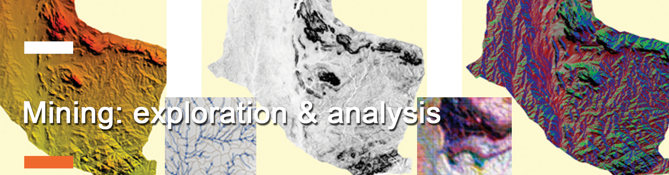
We provide the following service of mineral exploration and mine mapping:
Large and Small Scale Exploration Support
- Detection of geological and geomorphological structures
- Mineral mapping and incorporation in 3D deposit models
- Vegetation Analysis, environmental impact studies
Operating Mine Support
- Stockpile surveys and reporting support
- Environmental monitoring and reporting
Mine Re-Cultivation Support
- Mapping before and after the re-cultivation
- Periodic Vegetation Mapping to monitor progress