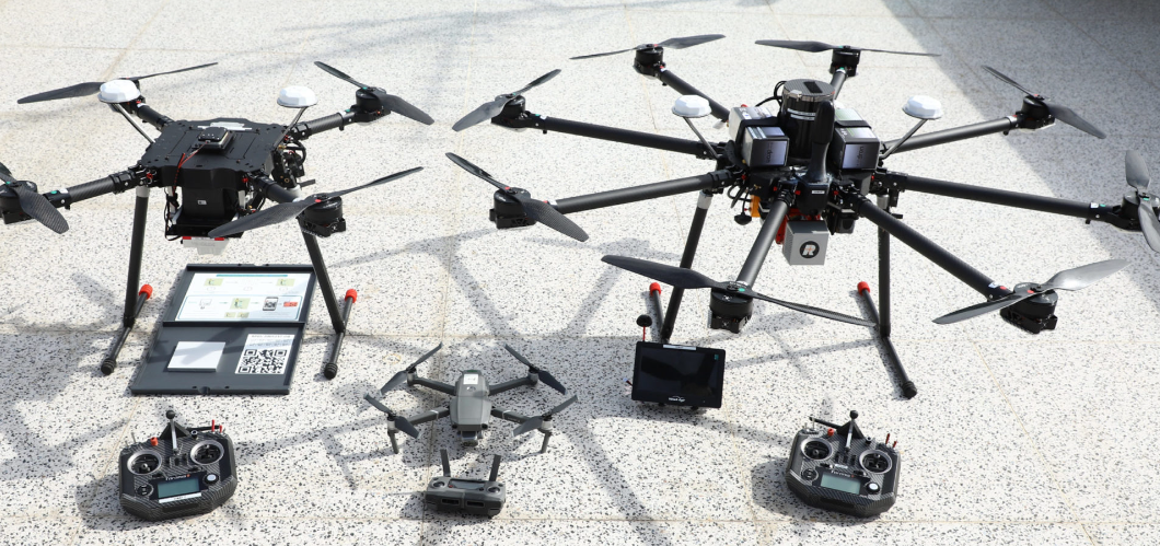


Dimap offers data collections based on fixwing aircrafts and helicopters under specific AOC regulations in the countries of operations and in accordance of ISO9001 and ISO14001. Due to the modular sensor design Dimap combines Lidar, Cameras and hyperspectral scanners as required by the client’s task in one flight and generates so complex and engineering quality sensor datasets. Projects from less than 10 sq km to more than 20000 sq km can be mapped with our solutions. Data processing in the country, on site quality assurances and ground control point support are provided.
