
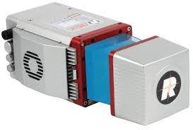
| Lidar sensor |
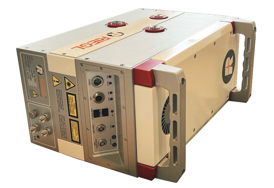
Riegl Q780 II
|
Riegl Q780
|
| Lidar frequency | 1064nm | 1064nm |
| Laser Class | 3B | 3B |
| Scan Frequency | 2000 kHz | 400 kHz |
| Type of Lidar | Full waveform | |
| Scan pattern | Regular cross track | |
| Number MTA Zone | 35 | 15 |
| Accuracy | 20mm | |
| Maximum Flying altitude | 5600m | 4000m |
| Main application | Wide Area / High Altitude Mapping, High Point Density Mapping, Mapping of Complex Urban Environments, Glacier & Snowfield Mapping, City Modeling, Mapping of Lakesides & River Banks, Agriculture & Forestry, Corridor Mapping | Topographic mapping, forestry surveys, powerline and infrastructure monitoring, geotechnical surveys |
| Lidar sensor |
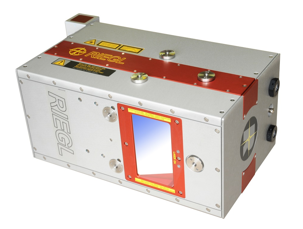
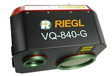
Riegl VQ-840-G
|
Riegl VQ820 |
| Lidar frequency | 532nm | 532nm |
| Laser Class | 3B | 3B |
| Scan Frequency | 50 kHz to 200 kHz | 400 kHz |
| Type of Lidar | Full waveform | Discrete |
| Scan pattern | Nearly elliptic | Half Circle |
| Number MTA Zone | 15 | 5 |
| Accuracy | 20mm | 25mm |
| Maximum Flying altitude | 150m | 600m |
| Main application | Mapping of Coastal Lines, Coastline and Shallow Water Mapping, Surveying for Hydraulic Engineering, Hydro-Archaeological-Surveying River Surveying, Repeated Survey of Water Reservoirs | Bathymetric and aquatic transition zones, snow and ice surfaces |
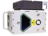
RIEGL miniVUX-1UAV
- Very compact & lightweight (1.55 kg / 3.4 lbs)
- 360° field of view
- Robust aluminum housing, ready to be mounted on multi-rotor, rotary-wing, and fixed-wing UAVs
- makes use of RIEGL’s unique echo signal digitization and online waveform processing
- Multiple target capability – up to 5 target echoes per laser shot
- Scan speed up to 100 scans/sec
- Measurement rate 100,000 measurements/sec
- Mechanical and electrical interface for IMU mounting
- Exceptionally well suited to measure snowy and icy terrain
- user-friendly, application- and installation-oriented solutions for integration
- Agriculture & Forestry
- Glacier and Snowfield Mapping
- Archeology and Cultural Heritage Documentation
- Construction-Site Monitoring
- Landslide Monitoring