Auckland Project
This project acquired the hyperspectral sensors, Lidar, camera, and thermal camera for the area covered by the Auckland coastline and its surroundings. The project size is approximately 2100 km2.
Dimap collected the data with a multisensory plan using Lidar, Hyperspectral sensors, camera, and thermal camera from Dec 2022 to March 2023. That period included the rainstorm disaster and the event of Cyclone Gabrielle.
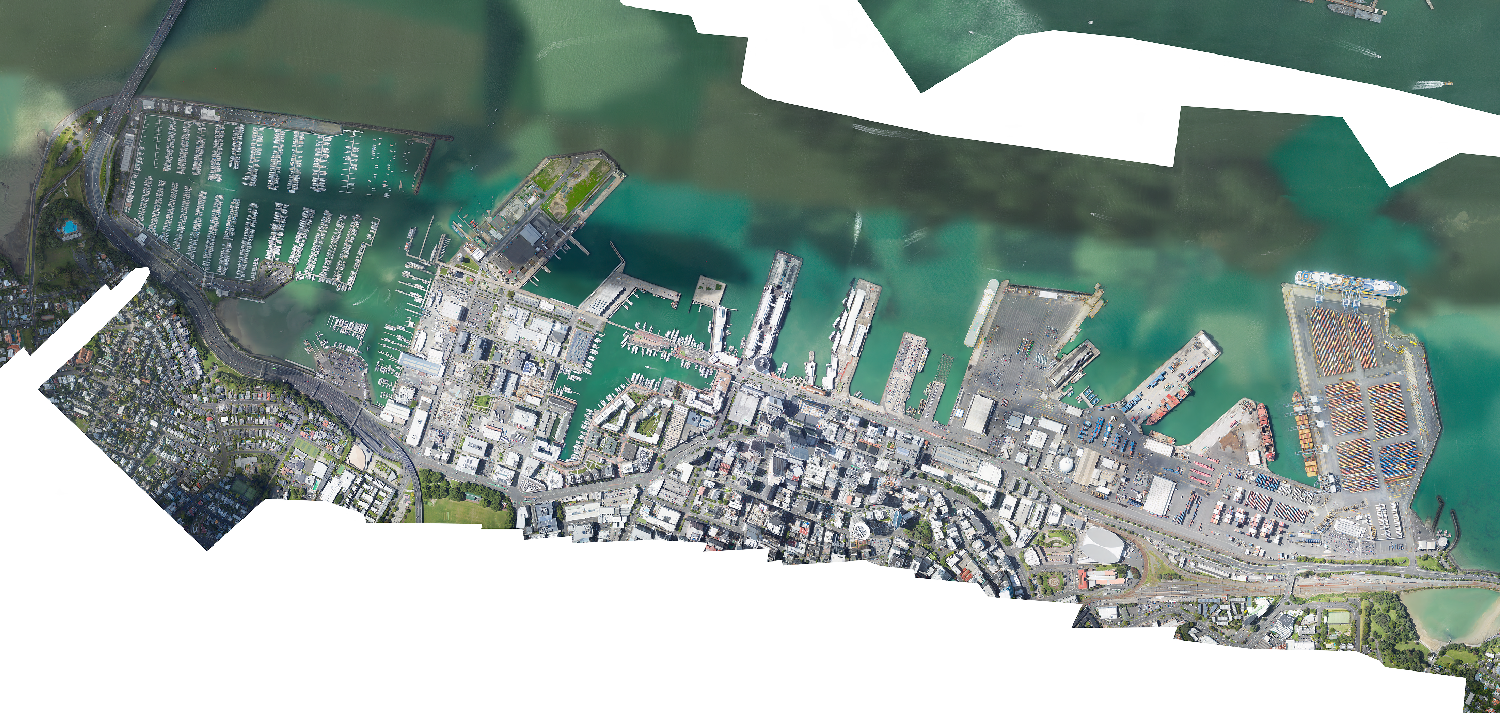
Figure 1: Auckland’s Viaduct Harbour Images
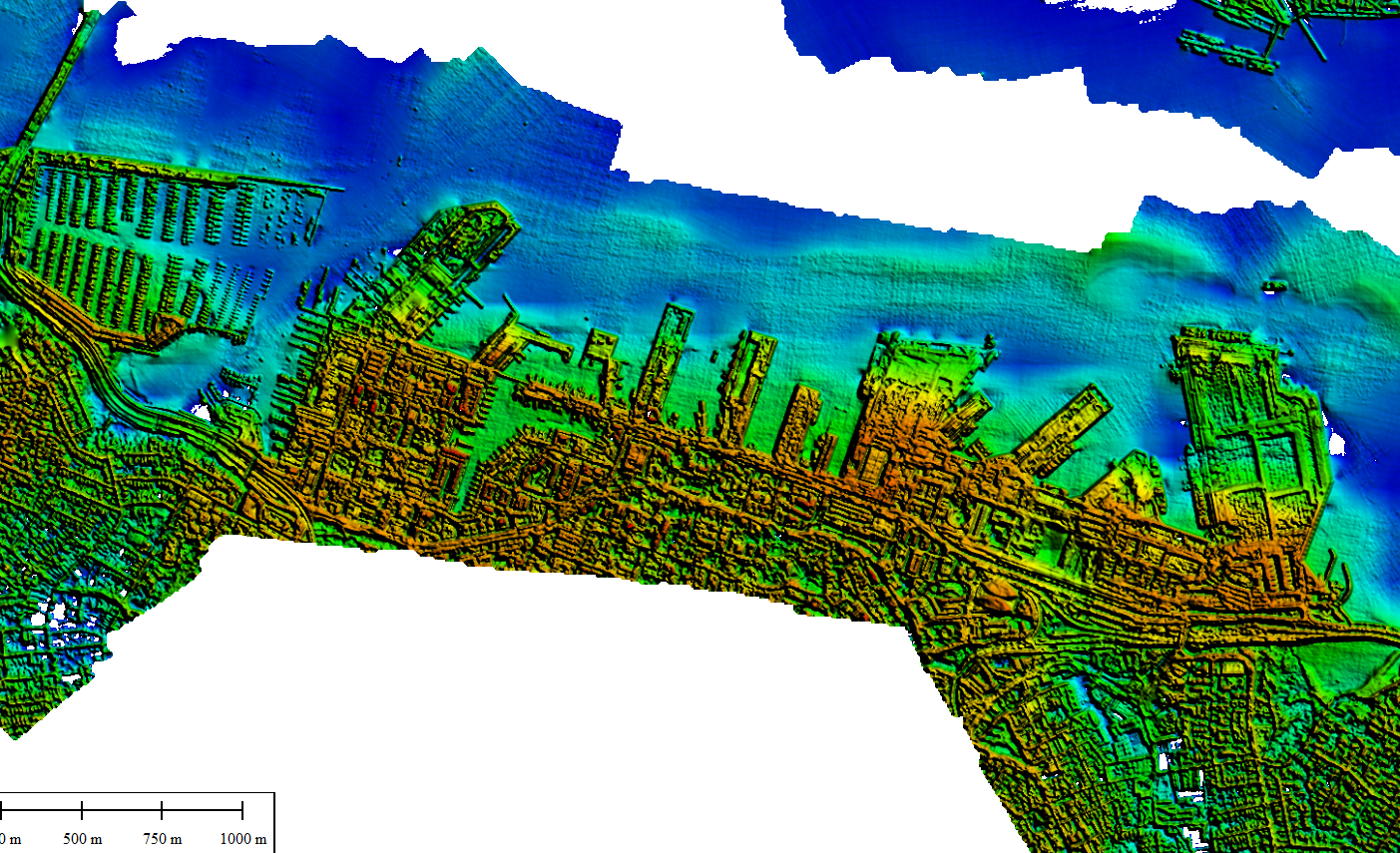
Figure 2: Auckland’s Viaduct Harbour Thermal Images
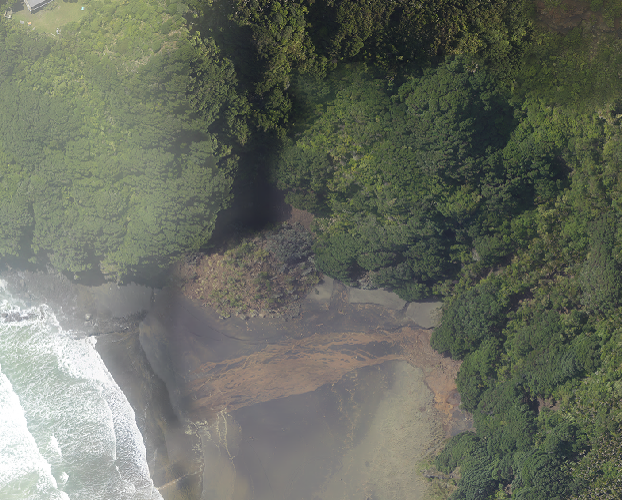
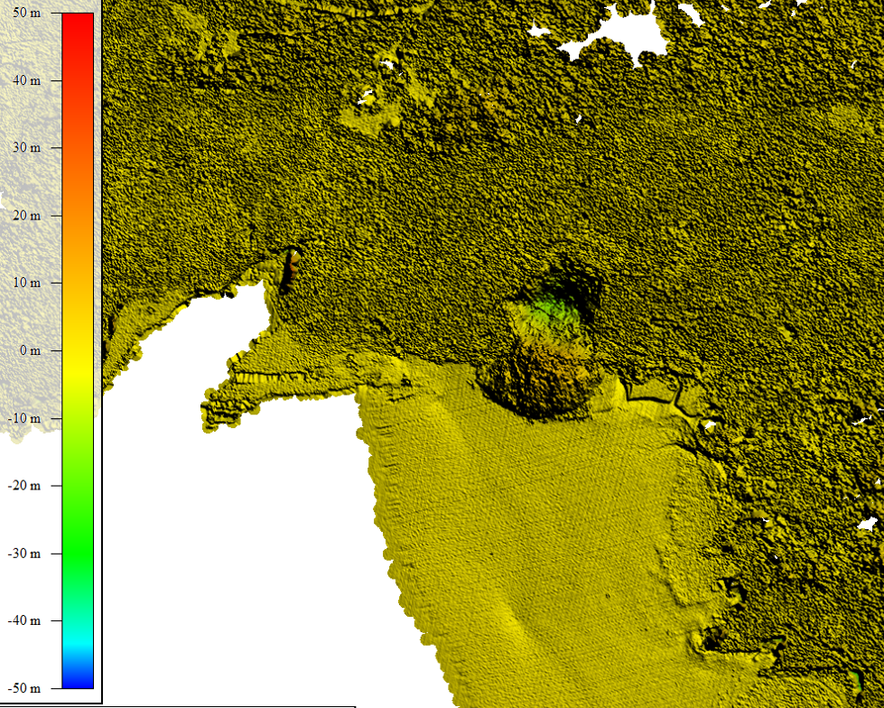
Figure 3: Lidar change analysis for detecting the landslide caused by the rainstorm disaster and the event of Cyclone Gabrielle.
All copyrights with Dimap