
Dimap offers for your smaller projects now also Hyperspectral and Lidar surfaces based on UAV.
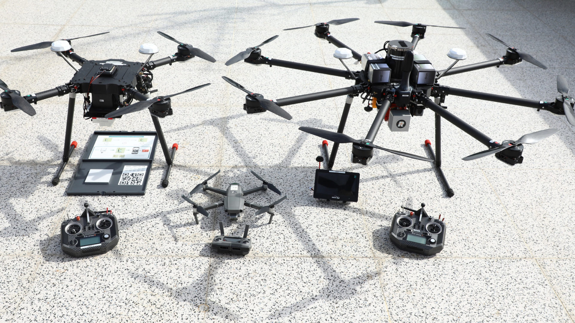
In light of new technology with smaller sensors and more powerful UAV systems as well as costs Dimap integrated into their portfolio now also UAV-based Lidar, Imaging and thermal cameras, and Hyperspectral sensors, based on proven technologies and established workflows and high-end sensors. Sensors are installed in a high-performance Quad- and Optocopters with a maximal flying time of up to 45 minutes. The typical flying height is around between 200 and 1000ft. The UAVs are CE and EASA-certified and piloted by trained EASA, CASA, and similar certified personnel. The system is equipped with a parachute system in case of failing propulsion systems or loss of stability to allow safe operations in urban and critical areas.
The SWIR hyperspectral sensor (1000 – 2500nm) allows mineral mapping, and pollution identification but also for instance urban mapping tasks from a UAV- base. With 300 bands data are well integrated into the inside Dimap’s existing workflows.
Lidar or Hyperspectral sensors are installed in a high-performance Optocopter with a maximal flying time of up to 45 minutes based on preprogram flying areas or corridors. The typical flying height is around between 200 and 1000ft. The UAV is CE and EASA-certified and piloted by trained and certified personnel. The system is equipped with a parachute system in case of failing propulsion systems or loss of stability to allow safe operations in urban and critical areas.
We would be delighted to support your exploration or mapping projects with based on our new UAV platforms or the aircraft installations with Lidar, Cameras, and Hyperspectral sensor data and their processing.